Wednesday 2 October 2013

The Banner Lane Barrage Balloon Anchors

One of the nice things about doing this blog is discovering that something you have walked past a hundred times or played near as a child turns out to be something that you least expected. In fact the moment I uploaded this blogs first post regarding the air raid shelter in the memorial park and the surrounding barrage balloon anchors I realised I would be writing a further post about similar items but in a different location. Not far from where I live is Banner Lane. Once quite a heavily industrial road in rural Coventry, large companies such as Massey Ferguson and Wickmans used to have large manufacturing plants here. The Massey Ferguson site (which has now been replaced by housing/retail) was originally a shadow factory for the Standard Motor company based not too far away by the current A45 (where Sainsburys now is). Shadow factories were set up on the outskirts of cities to allow continuation of the work carried out by the parent factory with less threat from the bombings targeting industry rich city centres.


Above is a view of the Standard Aero Engines plant (before it became Masseys after the war) (Image copyright: 'Britian from above') The factory itself is painted in a camouflage arrangement to blend in and the surrounding fields indicate its rural setting. Just above the top of the factory from this view is Banner Lane. The road itself runs off down towards Tile Hill Village and it's at this point that something interesting still exists today, long after the end of the war and the disappearance of most of the industry on this road. 

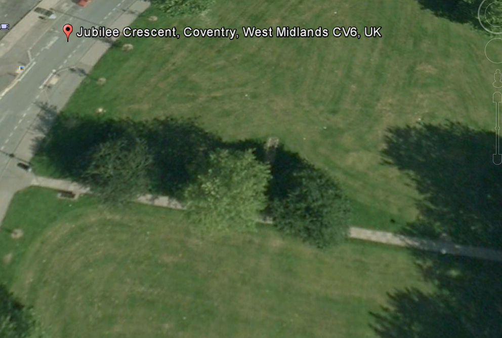
Something familiar we've seen before!


Barrage balloon anchors, where Banner Lane meets Tile Hill Lane. There are 4 still there today (one is slightly hidden to the left). As a barrage balloon was designed to make enemy bombers fly at a height greater than the balloon itself and therefore restrict their accuracy it seems perfectly logical that we would have wanted them high enough to either miss the shadow factories just up the road or to not spot their location entirely. Either way they offer us a clue to the industrial past of the area (especially with regards to the 2nd world war).


I suppose these giant cubes of concrete are just too heavy and cumbersome to remove. In fact a nearby modern housing estate has had its perimeter fence built around them!

One more interesting thing to notice is that these match the ones in the memorial park exactly. Below are the Banner lane anchors:


And below are the Memorial Park anchors by the air raid shelter


A quick Google image search of barrage balloon anchors shows up all different manner of shapes and sizes (that don't look similar to these) so clearly this style was installed Coventry-wide. Maybe they were supplied by a company who made them exclusively for Coventry or the Midlands as a whole. Theres probably even a chance that they were put in location on the same day in both the Memorial park and Banner Lane by the same crew and have sat there ever since!


Tuesday 4 June 2013

The air raid shelter under Jubilee Crescent

For quite some time I'd heard that there was some kind of air raid shelter under the large grassed area in the middle of Jubilee Crescent. After all it is pretty much a perfect location for a public shelter as the lack of immediately close buildings would reduce the risk of flying debris and rubble etc. I have read quite a few memoirs of the blitz on the internet that describe this particular location so I thought I'd take a look one night after work to see what I could find. It didn't take very long to find the evidence of such shelter existing. As you walk across the middle of the centre grassed area, along the path, you can immediately see near the centre of the area the tell-tale concrete shape in the grass of a shelter entrance.


Viewed from the path you can see the back of the entrance closest


But from the opposite angle you can see the entrance as it would have been viewed during the blitz (though obviously filled in with earth since)


If you compare the shelter entrance from the Jubilee Crescent site (above) with the entrance to the shelter in the war memorial park (below) you can see the similarities in construction. There are a few differences however.


The Memorial park shelter entrance has a concrete lined square positioned approximately 10 meters behind the entrance, which you can just about make out on the ground in the distance on the image above. This doesn't appear with the shelter entrance at the Jubilee Crescent site. There is a change in the growth of the grass at Jubilee Crescent in the approximate similar location but this is not directly behind the entrance as it is in the Memorial Park. The image below shows the shelter entrance in the upper left corner and the shape where the grass colour is slightly lighter as if something is underneath this area and has affected the grasses growth. Could this be the square concrete hole arrangement as seen at the Memorial Park site except it has been covered over? Or was the this concrete square originally further over and now covered over with the path?


There are some other concrete pieces breaking out from the grass not too far from the shelter entrance as illustrated in the photograph below


There are also some sunken areas of ground close by (as shown below) that may or may not be as a result of the shelter but you can't help but think that it has something to do with it


The photograph below illustrates the location of some of these areas of interest. To the far left and half way up the picture is the shelter entrance. The bottom left shows the sunken area from the photo above and there is another slightly sunken area to the left of the tree. Just to the left and down from the bald sunken area by the tree is the patch of discoloured grass that appears to be growing in a tell-tale square formation.


Just as one more point of interest the image below shows the left hand concrete sunken wall of the shelter. On the very end is a square that has been purposely manufactured into the concrete as if something should have slotted in to this. Im not sure what would have but it is definitely there for a reason.


The image below taken from Google Earth 1995 still shows the shelter entrance as it was then. You can just make it out poking out from the tops of the trees.


Unfortunately the 1945 Google Earth view is too poor a quality to be able to illustrate the site at that period. It does however still highlight the fact that a path crossed across the green and that, barring a shift in this paths location, the shelter entrance always faced away from the path. I wonder if this means that the shelter opens out to a large underground area under the green on the opposite side of the path to the entrance. I will do a further post in the future if I can find anymore information regarding the size etc of this shelter.


View Jubilee Crescent Air Raid Shelter in a larger map


Thursday 25 April 2013

Reminders of Coventry's Pre-war Tram network


I had known that Coventry had a tram network before the war, with trams passing through Broadgate and other areas of the city but I didn't appreciate that there are still signs of it remaining. I've read a few books that indicate that after the November blitz, where the tramlines were badly damaged, the system had been abandoned. Recently I realised that just down the road from where I work on the Albany road by the junction of Broomfield road (by the railway bridge) a former tramway traction pole still exists. I took a walk down to take a look at it on a lunch break and lo and behold there it is. Below is a picture of the pole in its current condition but its quite nice to compare against the pre-war image to see it in the same place with a tram rumbling nearby. It does make you wonder what you take for granted as you walk past it on the street.

 
Its in a bit of a sorry state with plenty of rust and holes and the top has long since vanished


But it's nice to see that it still remains in the same spot that it was in before the second world war (as below)


I thought that the pole I saw on the Albany road may be the end of this little topic for my blog however a few weeks later on another lunch time walk (that I have made on many occasions!) I happened to realise I was walking past another on Warwick Avenue (again in Earlsdon). What I found quite strange about this location compared to the Albany road pole was the fact that Warwick Avenue isn't really a major route. Its a side street, albeit with large houses probably owned by affluent 1920/30s people back then, but a side street nether the less. So clearly trams also ran here as well.


Interestingly this Warwick Avenue Pole matches the design of the Albany Road pole (image below).


And another pole apparently on Lydgate Road which I found out about online (image below).


As seems to be the case with this topic a few lunch time walks later threw up another nice realisation for me. Having researched a little bit on the Coventry tram network I saw the image below of what is now by Pool Meadow near the Whittle arches of road re-surfacing going on.


It seems that after the blitz the council simply covered over the tracks with the new road. I wondered as I got to the end of Warwick Ave as to whether they may have done the same on this road as well. When I turned to look back up the street I realised that you can quite clearly see the impression of what I assume are the 2 tram tracks pressing on the road surface from below! From the end of the street the 2 tracks run perfectly straight the whole length of the road.


I wonder if there are any more of these tram traction poles still in Coventry other than the 3 locations mentioned here. A public transport system destroyed by the blitz, leaving reminders behind on the landscape.


View Pre-War Tram traction poles in Coventry in a larger map

Tuesday 26 March 2013

Barrage Balloon Anchors

One thing I failed to mention on my previous posts about the air-raid shelter in the War Memorial Park is the close proximity of a handful of barrage balloon anchors. The council have made a nice educational area around them including a display board that hints at the possibility that the nearby air raid shelter may have been used for storing the equipment required for these barrage balloons and the safety of the ground crew.


Note that the smaller cubes are modern additions for children to sit in this area etc. The barrage balloon anchors are the larger cubes. They are made of solid concrete and are obviously extremely heavy to be able to weigh down the huge balloons that would have flown above them. Being so heavy I suppose the council thought it a waste of resources to move them after the war ended. There are 3 located here. (note in the picture above the trees. This is where the shelter is located and highlights the closeness to the barrage balloons)


Each cube has metal rings attached to the side that I assume held the metal cables in place when operational. These are a great example of something left on the landscape after the war as I'm sure plenty of people have walked past them down the years without giving much thought to what they actually were, just accepting that they are there. It makes me wonder what else I have walked past, particularly when I was younger without realising its true purpose.


Thursday 21 March 2013

The War Memorial Park shelter from above

As a follow on from the last post about the air raid shelter in the War Memorial Park I thought it would be interesting to show what the area looks like from the sky today compared to in 1945.


From above you can see the line of trees (inside the white box) that shoots out from the path. The shelter is located under these trees which are pretty dense here in a picture from 1997. Compare the same area from an aerial photograph from 1945 below.


A little bit harder to see the same treeline in the photo from 1945 however you can make it out. Obviously this is a lot less dense than in the top photo as the trees there have matured but it is interesting to note that elsewhere in the park in 1945 there is little vegetation or trees. This is very apparent when looking at the paths to the top right around the fairly new War Memorial (1927). In fact the area where they have decided to build the shelter is in one of the densest areas of tree cover in the park in 1945.

Friday 15 February 2013

The Air Raid Shelter in The War Memorial Park


If you take a walk along the path from the main War Memorial Park Car Park and head towards 'Coat of Arms Bridge' then you will eventually come across this interesting concrete shape built in to the ground next to a small tree covered area.


This is the entrance to a Second World War air raid shelter. In the distance you can see the square concrete secondary hole located at presumably the other end of the shelter underground. This shelter has been completely filled in and had become overgrown, hidden from view, until the 'Friends of the War Memorial Park' cleared the entrance recently. Presumably if dug out this would reveal steps leading down between the concrete walls in to the shelter. As there was barrage balloons and anti aircraft guns located in the park it has been mentioned that this shelter was used for both the storing of equipment and the protection of the people operating these devices.


Seeing these strange concrete shapes in the ground has made me think I am sure I have seen similar things in other places but cant quite picture exactly where. A great example however of a change in the landscape due to the war that still exists to this day. Before the site was cleared to the present state and before the information plaques had been put up nearby I wonder how many people had walked past this blissfully unaware of the history they were passing.


View Coventry War Memorial Park Air Raid Shelter in a larger map

Friday 25 January 2013

Welcome to my blitz bits blog

I've always been fascinated by that period in our countrys history where most nights were spent cowering in cold and damp air raid shelters in the garden or street. I am of course referring to the blitz. As I live in Coventry i have a permanent reminder on my doorstep of this time in the shape of the ruined old cathedral. Most Coventrians know what happened to our city 70 years ago. What most don't know is that there are quite a number of telltale hints in our geography to either the damage done, the preparations taken or the monuments erected in memory of this period. Some of these I have heard of through the local media, older residents or other sources. I suspect there are many I have not discovered yet. Hopefully in this amateur blog I might be able to show a few within my city and maybe learn a few things along the way.